
Mid October, muddy and slippery grounds, unmarked paths and climbing elements. Sounds like a good way to spend a Sunday morning!
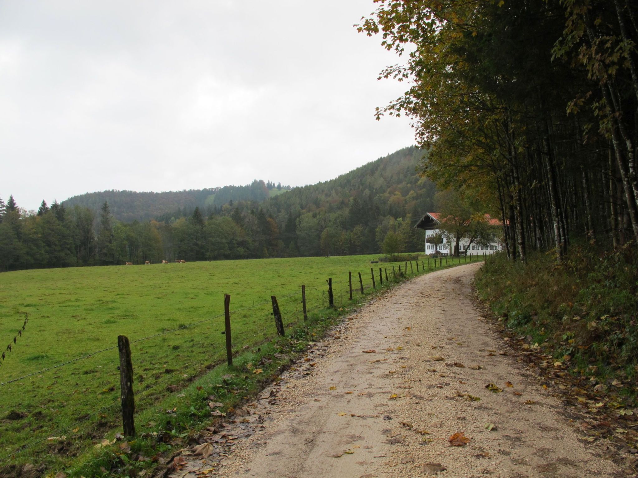
Around 9:00 a.m., I start fresh and relaxed at Hintergschwendt. The appearance of the area suits the sound of “Hintergschwendt“: rural, with jingling cows and autumn leaves.
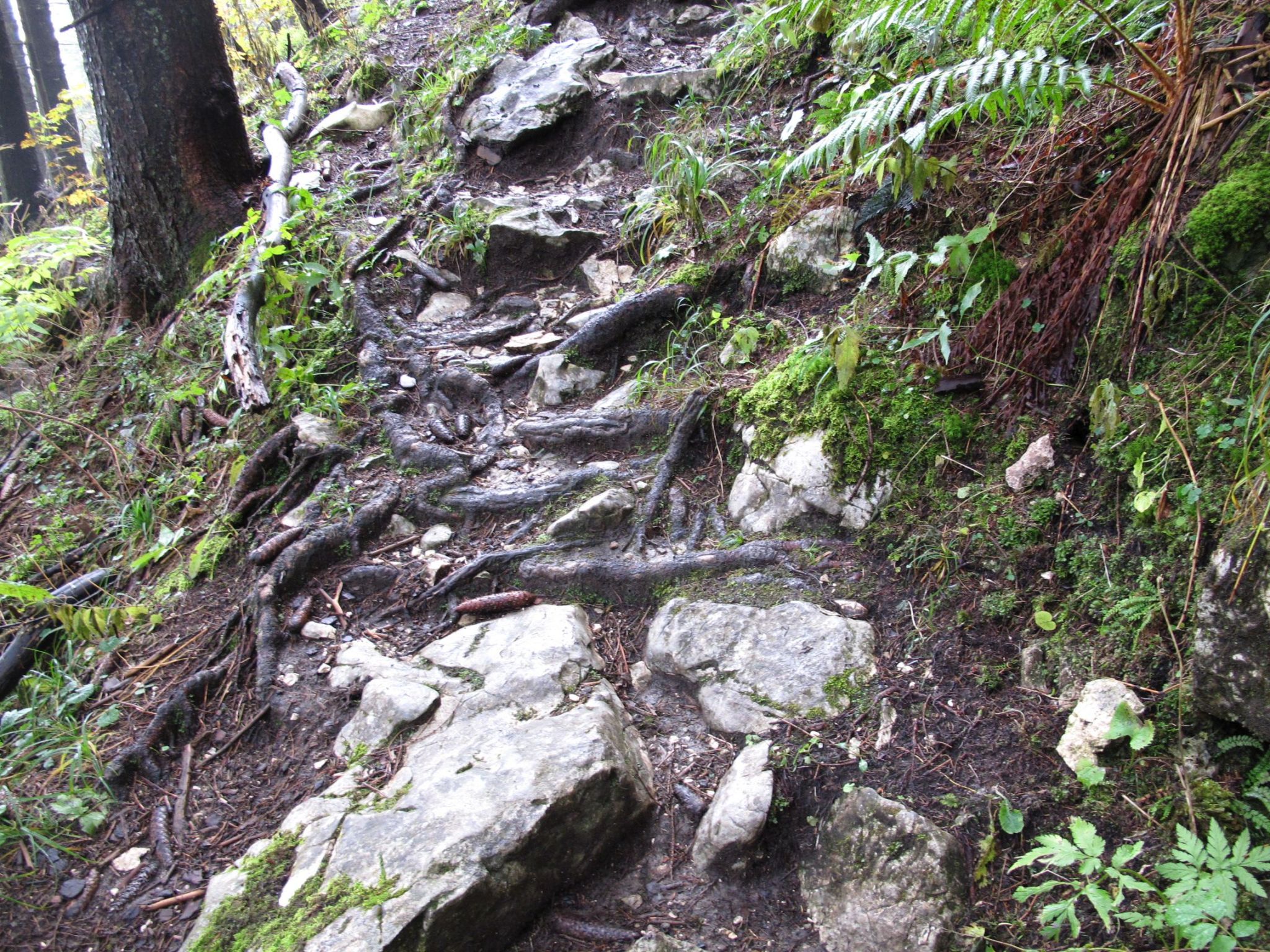
Only a minor part of the ascent is easy and stable, most of it is either muddy-slippery or steep-stony-slippery. With the route sometimes hard to find, and, once found, hard to remain upright, it is perfect to leave work and daily life behind. What I need for the next hours is concentration, tracking instincts and top-of-the-hill hiking boots (check, check and check).

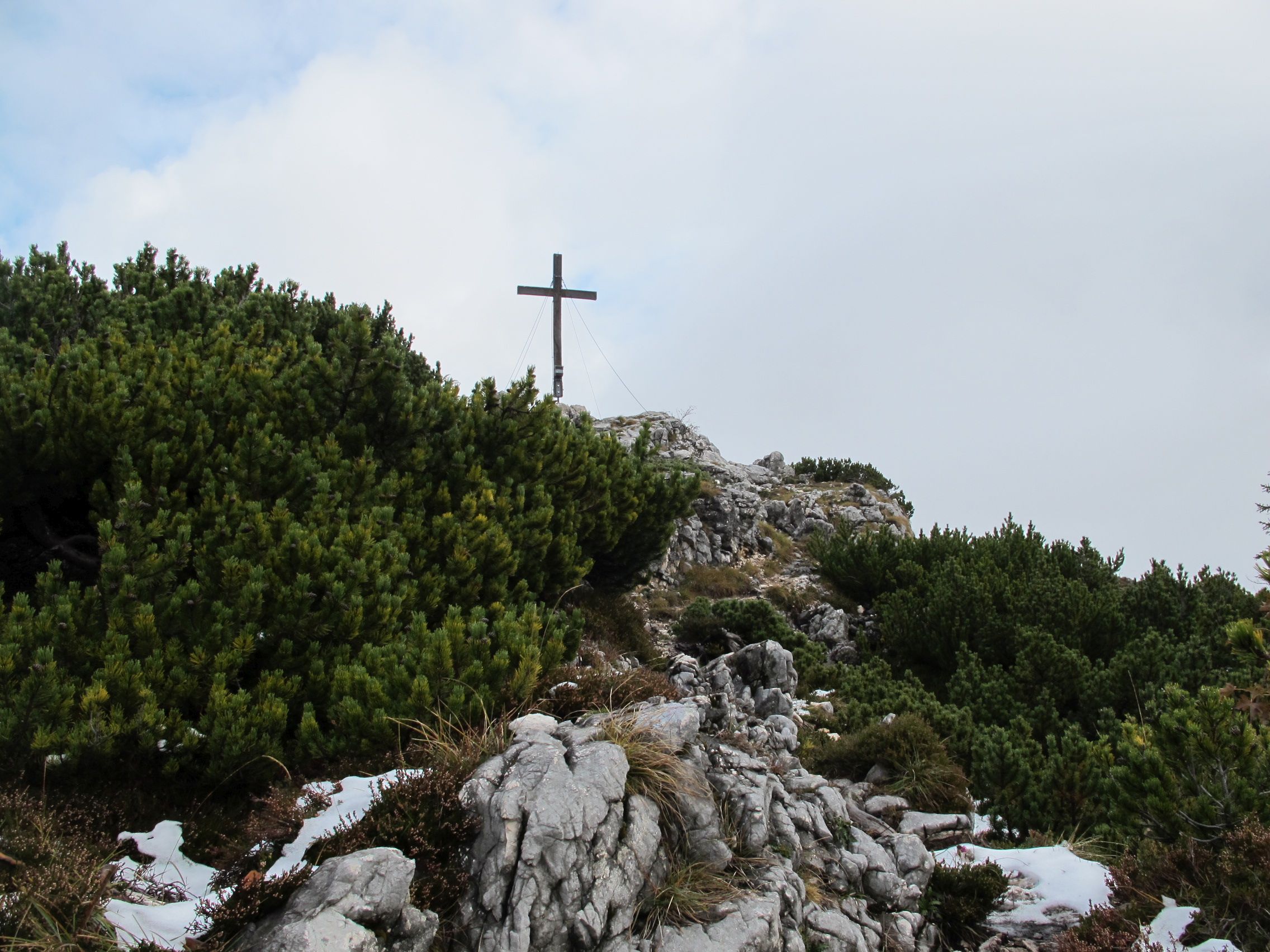
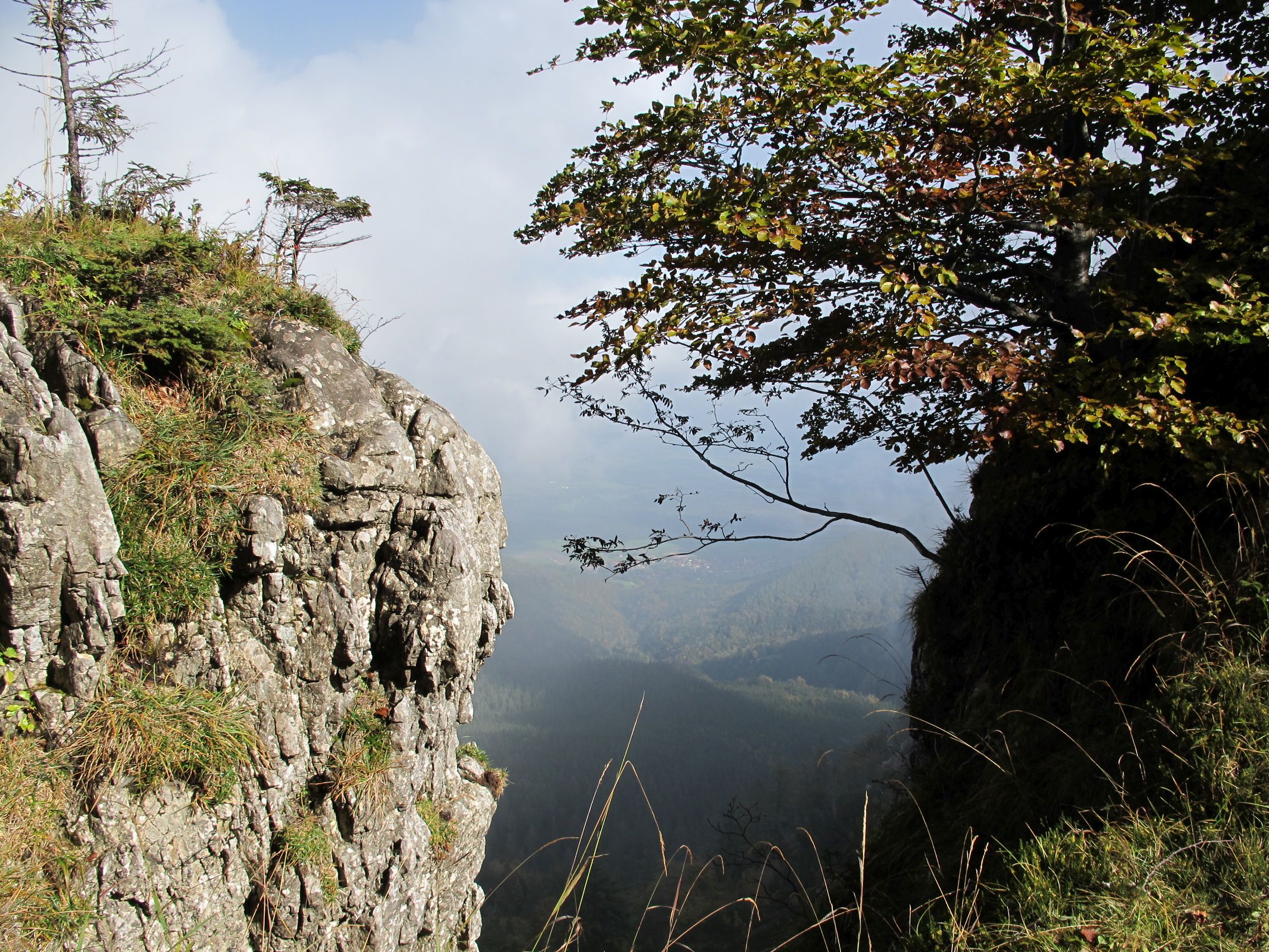
The weather is indecisive today, meandering between clouds, fog and sun. The tour via North/East to Gedererwand is not frequented, but creates an almost mystic atmosphere. The rough surfaces of the rocks along the way, the dark green and light brown of the autumn forest, it all fits perfectly in the scenery.
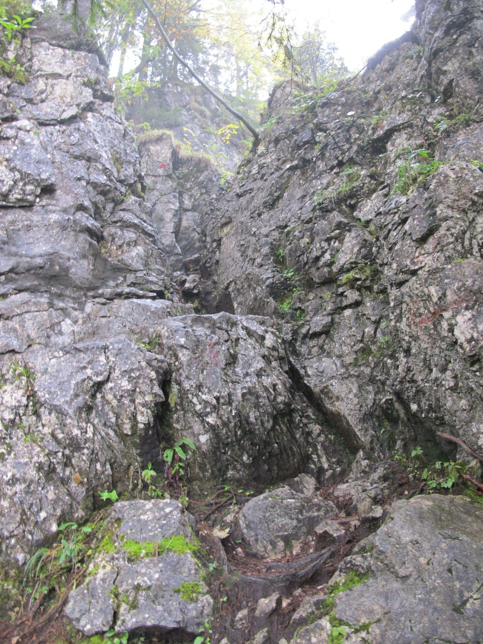
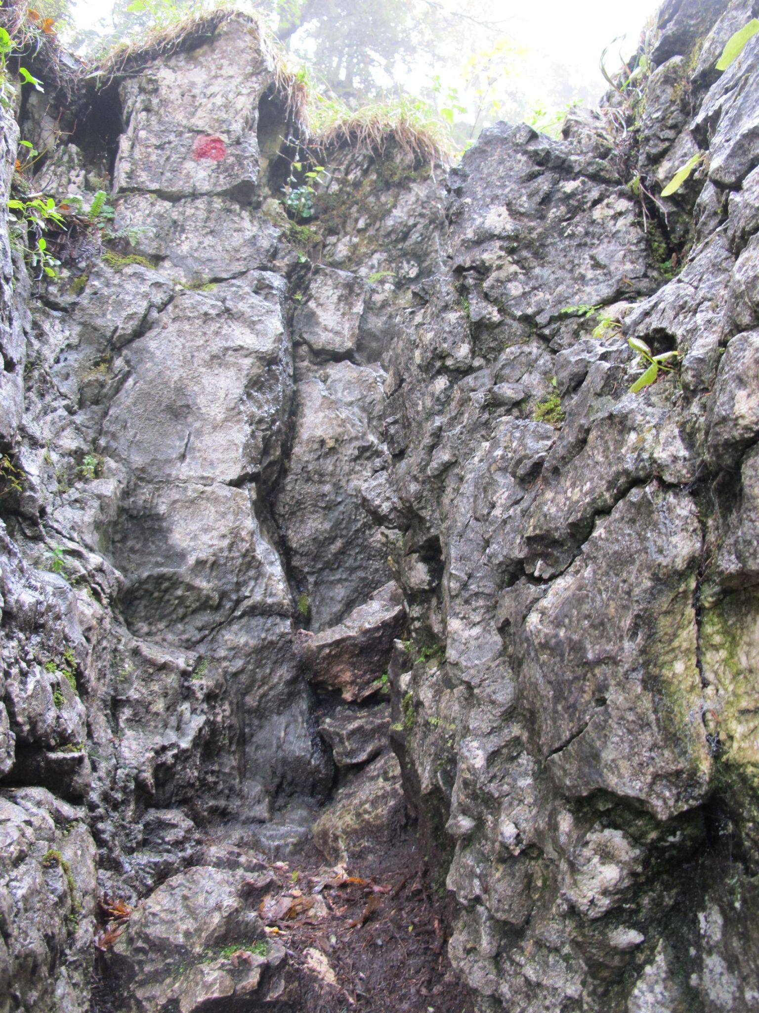
The pictures show the rocks when standing right in front. Yes, it is about getting up there in the most vertical way.
When I approach the announced climbing passage (easy, category I-II), it is interesting, but not difficult. All along the ascent, there are quite some sections where the hands may support the feet – reassuring me that such a black tour is exactly what I like best. Even more with dry grounds beneath and bright skies above, yet best practice beats best conditions.

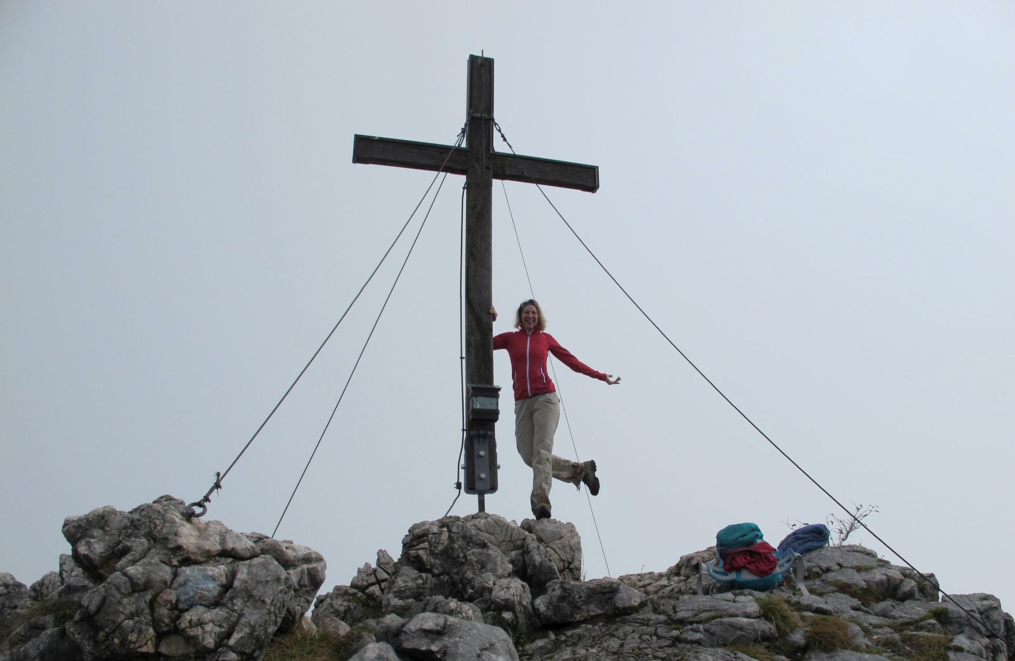
After 2,5 hours I make it to the summit of Gedererwand and – having outperformed a mid-sized hikers’ group – find the cross all deserted, waiting for the peak queen of the day.
I use the privacy for a change into a dry t-shirt and patiently wait for my photographers to arrive.
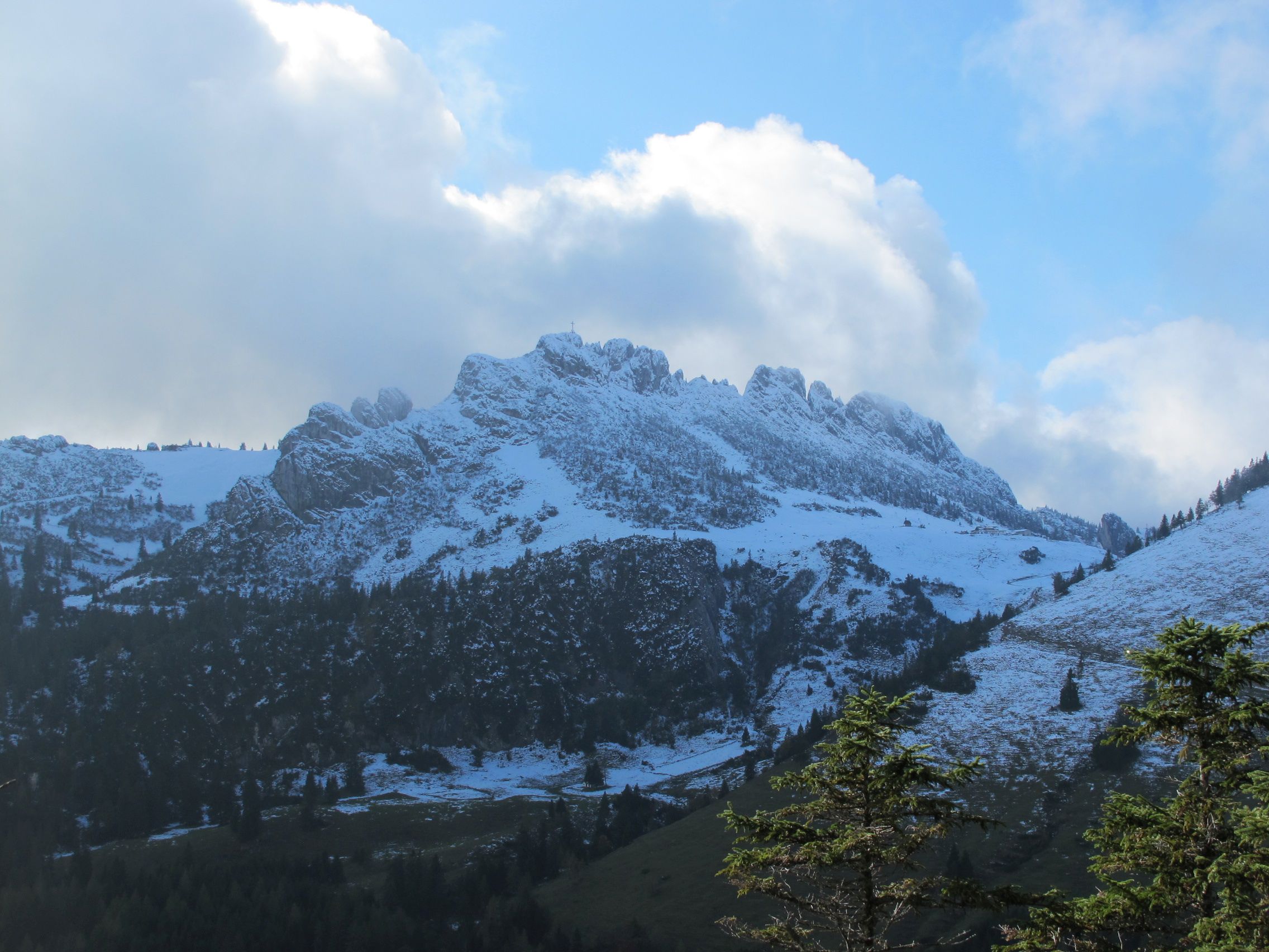
A pause of 25 minutes is enough for Gipfelsemmel-Vesper, chats among hikers and for the sun to make it through the clouds. Right in front, the Kampenwand unveils with it’s famous silhouette. I can tell by the umpteen people I will pass by during my descent that it must be overcrowded despite the snow and the cold.
The ascent has taken slightly more time than planned, mostly due to the rough terrain. Now, the further I get on my descent, the more I can accelerate. The ways are harmless and in less then 1,5 hours, I am back at my starting point and wonder about the almost infinite rows of parked cars. Lucky me that I have such a propensity for interesting tours, sorting out the sneaker-strollers and lowland tourists along my way.
| 650m altit. difference | 7,7 km | 4 hours | challenging |

Leave a comment