Oh tempting are the mountains… Another bright-sun-on-a-weekend occasion comes along, and not before long I find myself (again) heading towards the Alps. Barbara joins me today and brings in a charming tour, a chamois in disguise and good mood.
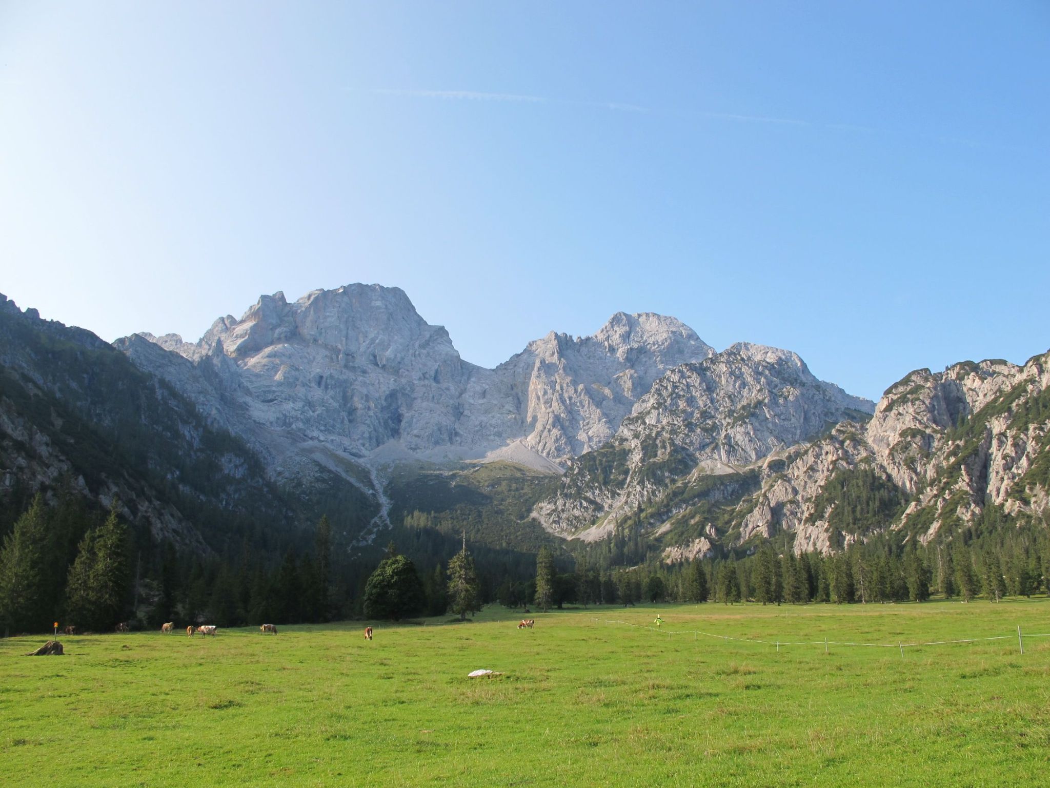
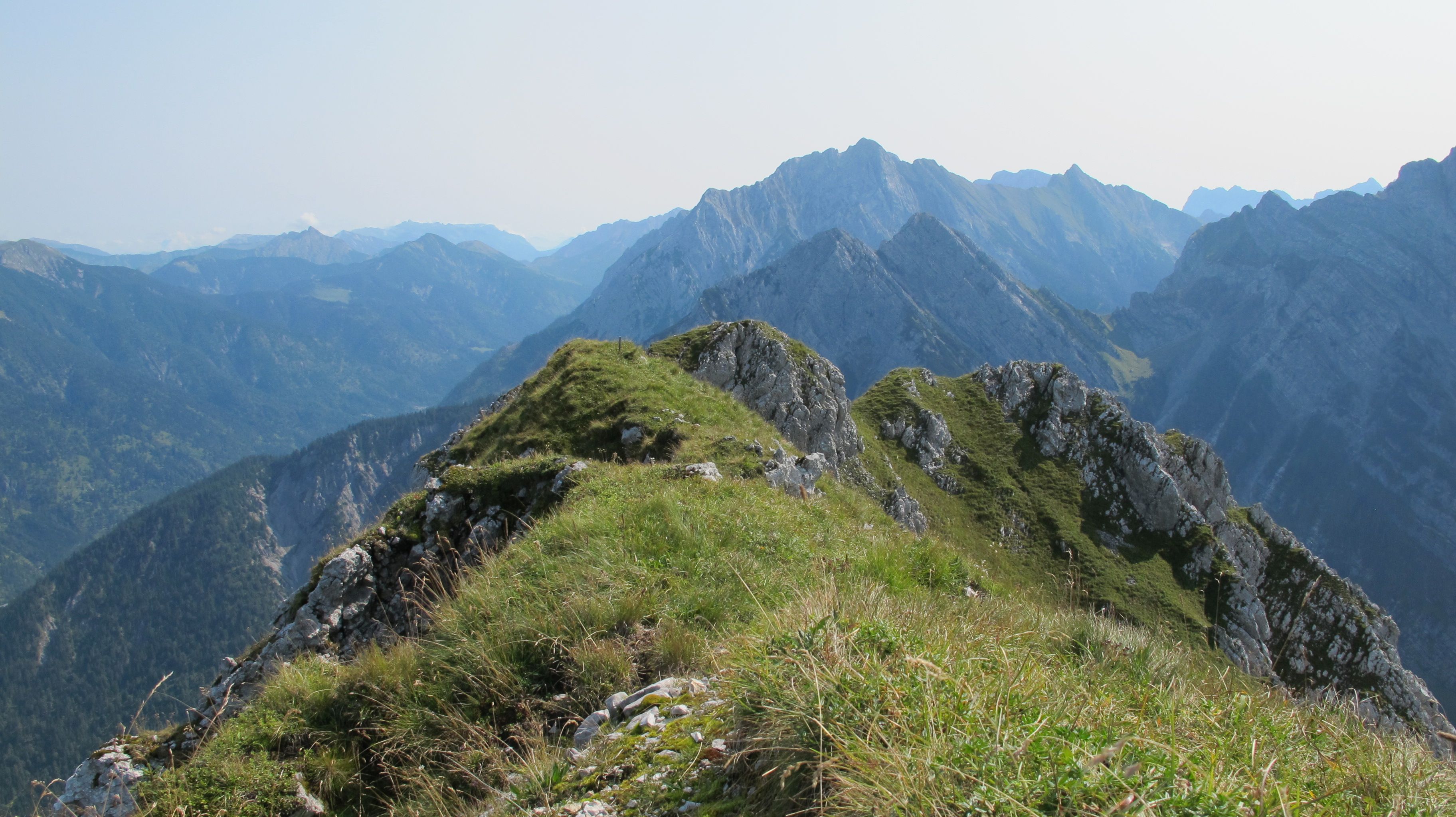
Region of the day is Karwendel with the typical rough and rocky appearance. I suspect that each cow, marmot and flower is part of an overall touristic campaign, aiming to balance the smooth and the rough.

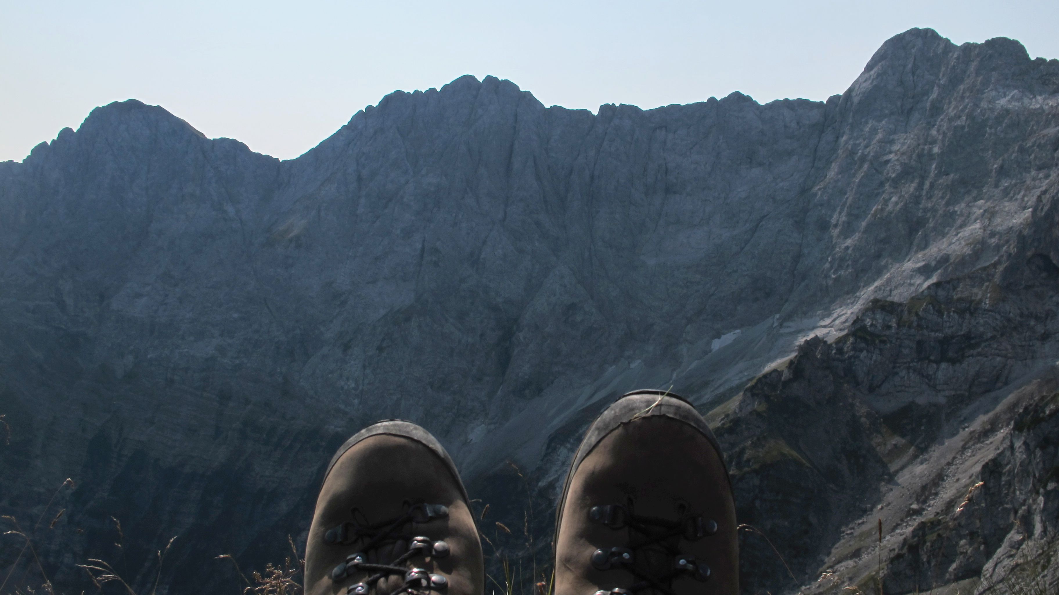
Having arrived at the Torscharte in time and well in shape, we decide to continue towards the Torkopf summit. From here, ways get interesting and steep, elevating venturing hikers in fast-forward-mode.
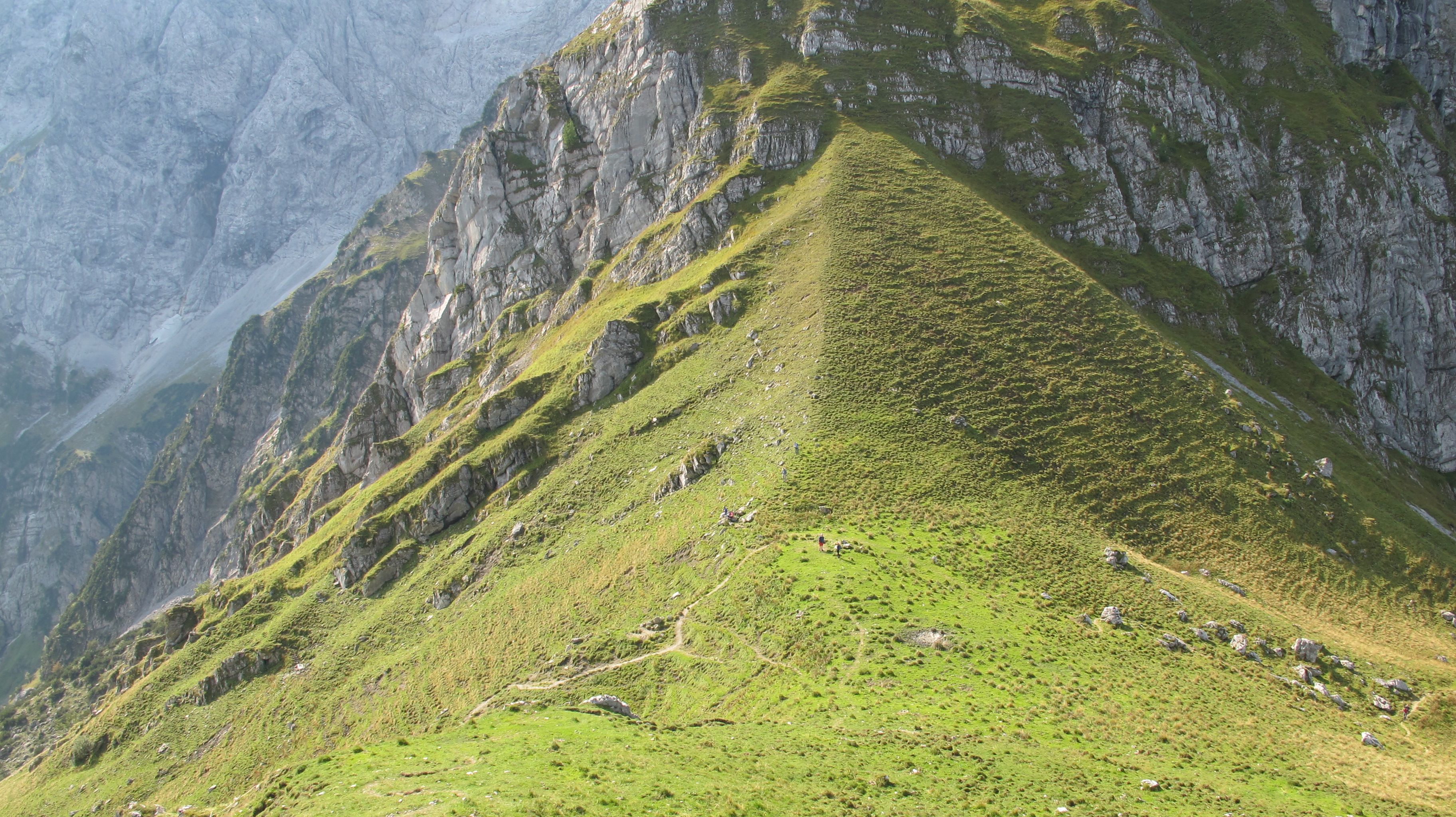
Hiking sticks are the ultimate upgrade in this part of the track as we continue steady, but cautiously uphill.
A single 2m–rock marks the key point, sorting the wheat from the chaff. Once passed, the last section is almost harmless, especially when finding the right turn. But even when half walking, half climbing between rock and grass, you might make it to the peak.

Eventually, we make it to the summit that appears rather a ridge than a peak.
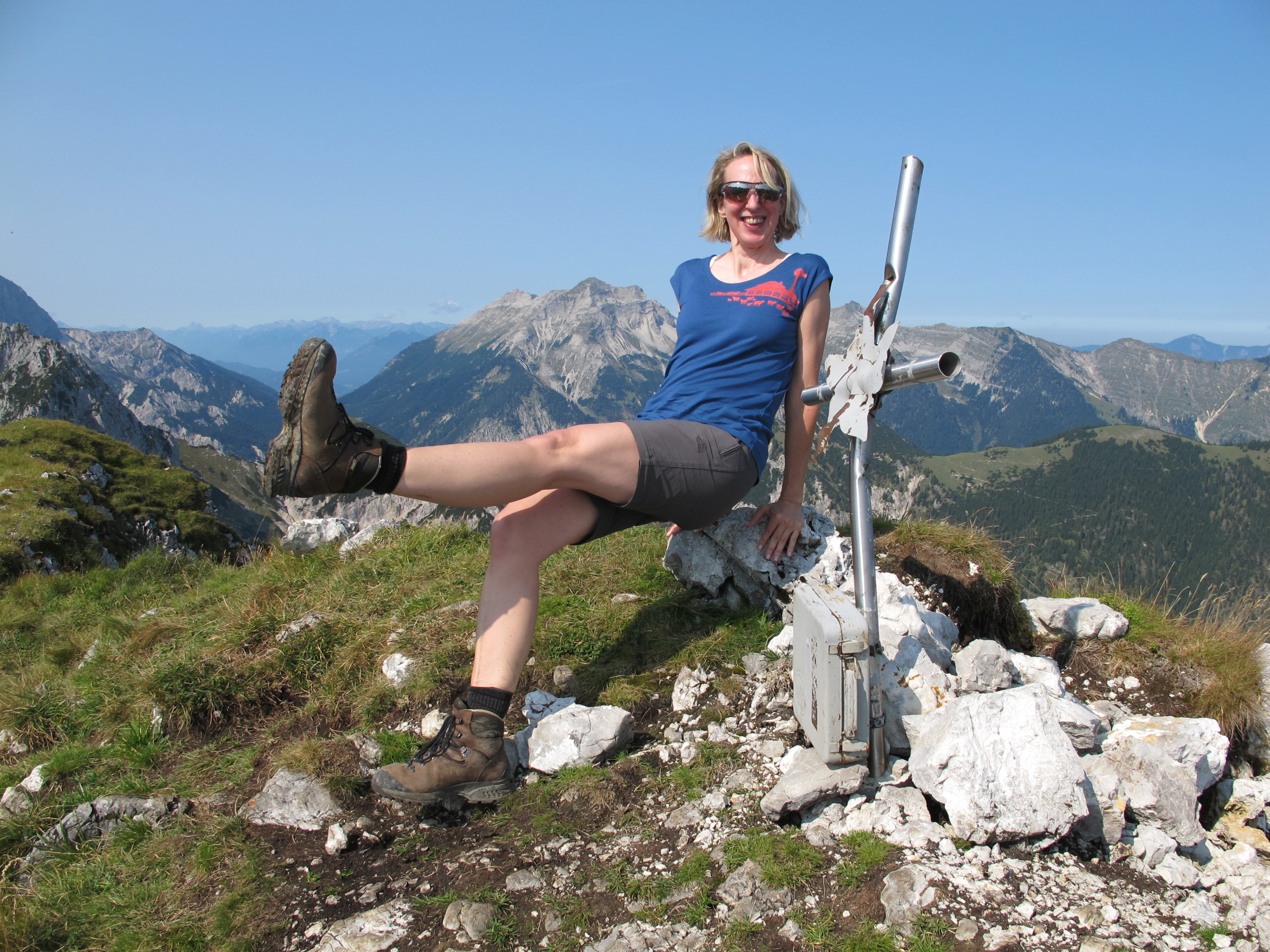
We enjoy some Gipfelsemmeln, sun and outlook. We are close to the most crowded spot around, given the view to the Karwendelspitze with its majestic flanks and impressive size. Easily reached with the Karwendelbahn, it is a famous place for lazy tourists – and thanks to our northern position, we hardly see any of them.

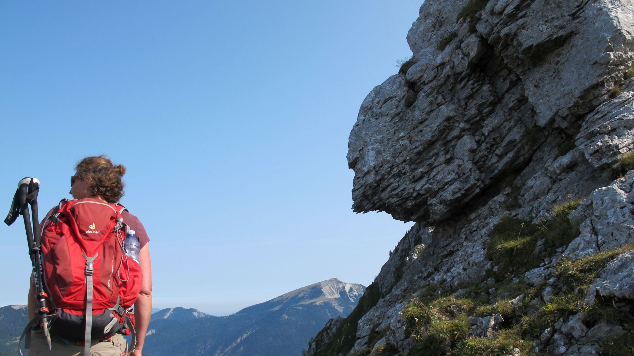
For today, we have reached the highest point, elevated well above the intermediate Torscharte, and search for further action. Some exercise might be good, making us look slim and slender even besides the tiny summit cross.
After a while, we decide to call it a quit and appreciate gravity on our sides for the way down. With a slight sigh, we leave the typical rock-and-green-grass landscape behind, immersing in forest paths and in the devouring shade of the Karwendel-flanks. 7,5 hours (including pause on top) are fine for today, proved by the sunburn I will detect tomorrow.
Outtakes: The real climbing rock of the tour, trifling disillusioning.

| 1.100m altit. difference | ca. 14 km | 6:45h | almost challenging |

Leave a comment